Who made the first map?
Short answer
The first maps were not created by a single individual but emerged through prehistoric efforts to record landscapes. The oldest known map is the Imga-Ga-Sur clay tablet from ancient Babylonia, dating to approximately 2500 BCE. Earlier depictions, such as cave paintings in Spain, suggest humans visualized their surroundings as early as 14,000 BCE.
On this page
Who created the first maps?
Cartography began as a communal necessity rather than the invention of one person. Early humans needed to track migration patterns, water sources, and hunting grounds to ensure survival. While specific names of mapmakers from the Neolithic era are lost to history, these early precursors show that the impulse to document space is a fundamental human trait.
Archaeologists have identified several contenders for the earliest map. The Abauntz Cave map in Spain, etched onto a stone tablet roughly 13,000 years ago, is often cited as the oldest known representation of a landscape. It features lines and symbols that likely correspond to local mountains and river valleys. These early efforts demonstrate that abstract thinking was fully developed long before the invention of written language.
What is the oldest surviving map?
The Imga-Ga-Sur tablet from the ancient city of Nuzi in modern-day Iraq is widely considered the oldest surviving map of a specific territory. Created around 2500 BCE, this small clay tablet depicts a valley between two hills, identified by a river flowing through the center. It served a practical purpose, likely used for land management or property taxation in the Babylonian empire.
The Babylonian World Map, dating to the 6th century BCE, represents a more ambitious attempt to visualize the entire known universe. It depicts the world as a flat disc surrounded by a "bitter river," with Babylon at the center. This map highlights how early cartography blended geographic reality with mythological beliefs. When analyzing these artifacts, researchers look for specific indicators:
- Scale markers that indicate distance relative to real-world travel.
- Topographic features such as rivers, mountains, and marshes.
- Symbolic icons representing settlements or religious sites.
- Orientation markers, though these were often inconsistent in early designs.
How did early cartography evolve?
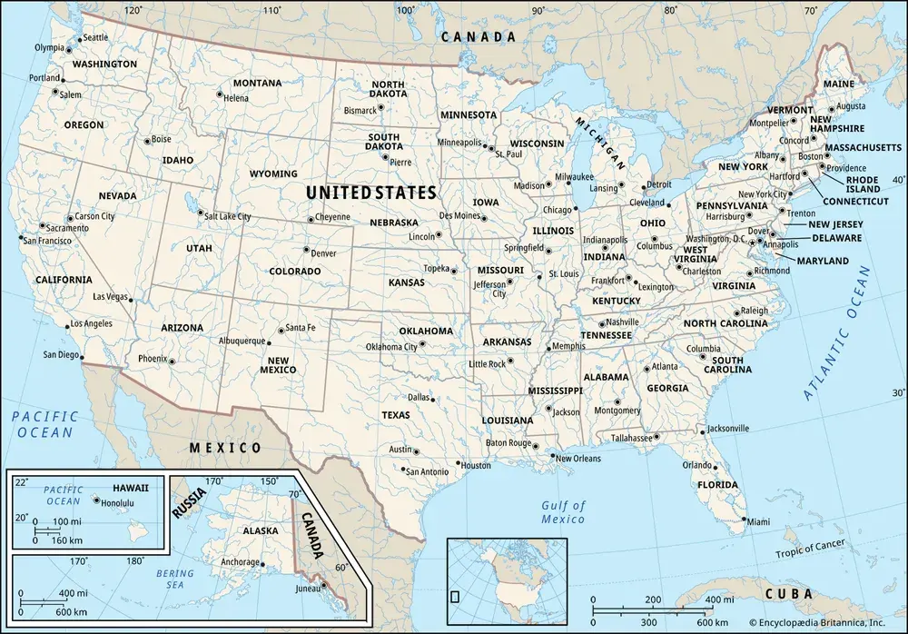
As civilizations grew, the need for accurate navigation and military strategy drove the development of more complex mapping techniques. The Greeks were instrumental in shifting cartography from artistic representation to a mathematical science. Anaximander of Miletus is often credited with creating one of the first maps of the world that attempted to place the known landmasses within a global context.
Later, Eratosthenes used geometry to calculate the circumference of the Earth with remarkable accuracy. This transition allowed mapmakers to move beyond local sketches to global projections. By the time of Ptolemy in the 2nd century CE, cartographers were using coordinate systems involving latitude and longitude. This systematic approach provided the foundation for all modern navigation, ensuring that maps could be replicated and understood by travelers across vast distances.
How to read an ancient map?
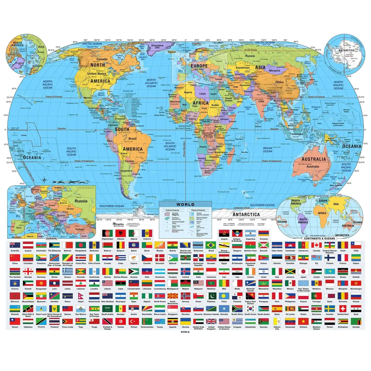
Interpreting an ancient map requires understanding the cultural context of the maker. Because early mapmakers did not have access to aerial photography or satellite data, their maps often prioritize social or religious significance over physical accuracy. A city might appear larger than a mountain range simply because it held greater political importance to the civilization that produced the document.
To understand these historical documents, follow these steps:
- Identify the center point, which often reveals what the culture valued most.
- Look for recurring symbols, such as wavy lines for water or triangles for mountains.
- Compare the map’s layout to modern geography to see which features were distorted.
- Research the historical era to determine if the map served a military, religious, or administrative purpose.
Common mistakes when studying early maps?
A frequent error is assuming that early mapmakers were attempting to create a perfect replica of the Earth. Many researchers mistake artistic flourishes or mythological creatures for geographical errors. In reality, these additions were often intended to convey information about the climate, the dangers of a region, or the divine nature of a territory, rather than a failure to measure distance correctly.
Another mistake is ignoring the orientation of the map. Many ancient maps do not place North at the top, as modern maps do. Some cultures oriented their maps toward the East, the direction of the rising sun, while others oriented them toward the source of a major river. Failing to account for these different perspectives can lead to significant misunderstandings of the map's intended purpose. By approaching these artifacts as cultural narratives rather than just scientific data, you can gain a much deeper appreciation for how our ancestors perceived their place in the vast, unknown world around them.
Key facts
- The oldest known map is the Babylonian Map of the World, created on a clay tablet around 600 BCE.
- Prehistoric cave paintings in Spain, such as those in Abauntz Cave dating to 13,000 BCE, may represent the earliest attempts to map local terrain.
- Anaximander of Miletus is often credited as the first Greek to draw a map of the known world in the 6th century BCE.
- Early maps were not intended for navigation but were symbolic representations of a culture's worldview or religious beliefs.
- To create a simple map, start by identifying a fixed reference point, such as a large tree or building, and measure distances using a consistent unit like paces.
- Avoid the common mistake of trying to map too large an area at once; focus on a small, manageable space to maintain accuracy and scale.
The bottom line
While the exact origin of the first map remains lost to prehistory, the evolution of cartography reflects humanity's innate desire to understand and organize space. From ancient clay tablets to modern digital projections, maps have transitioned from symbolic worldviews to precise navigational tools. By understanding the basics of scale and perspective, anyone can begin mapping their own environment, turning abstract space into meaningful, readable information.
People also ask
How did ancient people measure distance for maps?
They often used "pacing," which involved counting steps between landmarks, or estimated travel time based on how long it took to walk between locations. Some civilizations also used astronomical observations to determine latitude.
What is the difference between a map and a chart?
A map typically represents land features and political boundaries, while a chart is specifically designed for navigation, focusing on water depths, currents, and hazards for mariners.
Why do maps often look distorted?
Maps are flat projections of a spherical Earth, which makes it mathematically impossible to represent area, shape, and distance perfectly. This distortion is known as map projection error.
What is the oldest map of the stars?
The Nebra sky disk, discovered in Germany and dating to approximately 1600 BCE, is widely considered the oldest concrete depiction of the cosmos.
How do cartographers decide what to include on a map?
Cartographers use a process called generalization, where they select, simplify, and sometimes exaggerate features based on the map's intended scale and purpose.
Can I make my own map today?
Yes, you can use digital tools like GPS or simple sketching techniques to map your own neighborhood. Focus on clear symbols and a legend to ensure others can interpret your work.
This answer was created with the help of AI research tools and reference sources. Spotted an error? Let us know — we correct mistakes quickly. See our editorial policy.