What is the Capilano River?
Short answer
The Capilano River is a 16-kilometer waterway located on the North Shore of Vancouver, British Columbia. Originating in the Coast Mountains, it flows south through the Capilano Canyon before emptying into the Burrard Inlet. The river is a vital source of drinking water and a popular destination for outdoor recreation and sightseeing.
On this page
Where is the Capilano River located?
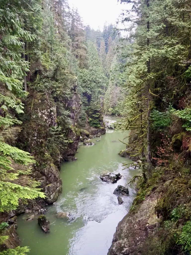
The Capilano River is situated entirely within the North Shore mountains of British Columbia, Canada. It begins high in the rugged terrain of the Greater Vancouver Watershed and travels southward through a steep, forested canyon. The river serves as a natural boundary between the municipalities of West Vancouver and the District of North Vancouver. Its journey concludes at the First Narrows, where it discharges into the Burrard Inlet, directly beneath the iconic Lions Gate Bridge.
Because the river flows through a protected watershed, much of its upper reaches are strictly off-limits to the public to ensure the safety of the municipal water supply. However, the lower section, particularly the area surrounding the Capilano Canyon, is highly accessible. Visitors can easily reach the river via public transit or car by navigating toward the Capilano Suspension Bridge Park or the Cleveland Dam. The river’s proximity to downtown Vancouver makes it one of the most accessible wilderness areas in the region.
What is the history of the Capilano River?
The river takes its name from the Squamish First Nation chief, Sahplook, whose name is anglicized as Capilano. For centuries, the Squamish people have resided along the river and the surrounding shores, relying on the waterway for salmon and other resources. In the late 19th and early 20th centuries, the river became a focal point for the logging industry, which utilized the water to transport timber downstream. These activities significantly altered the landscape, leading to the construction of various dams to manage flow and supply water to the growing city.
In 1954, the Greater Vancouver Water District completed the Cleveland Dam, which fundamentally changed the hydrology of the river. This structure created the Capilano Lake reservoir, which currently provides approximately 40 percent of the drinking water for the Metro Vancouver region. The dam also features a fish hatchery, which was established to mitigate the impact of the barrier on the native salmon populations. Today, the river serves as a testament to the balance between urban infrastructure needs and the preservation of natural ecosystems.
How to visit the Capilano River safely
Visiting the river requires an understanding of its unpredictable water levels, which are regulated by the Cleveland Dam. Sudden releases of water can cause rapid rises in river levels, making the canyon floor dangerous for hikers and anglers. Always check the official Metro Vancouver website for dam release schedules and safety warnings before planning your trip. Stick to marked trails and avoid entering the water during periods of heavy rainfall or when the dam is discharging water.
If you are planning a visit, consider these essential safety tips:
- Always remain on designated trails to avoid steep, unstable canyon walls.
- Wear sturdy, closed-toe footwear suitable for uneven, muddy terrain.
- Keep pets on a leash at all times to prevent them from slipping into the river.
- Carry a mobile phone, though be aware that cell service can be spotty in deep canyon sections.
- Never attempt to climb or swim in areas marked as restricted or hazardous.
What are the best activities at the Capilano River?
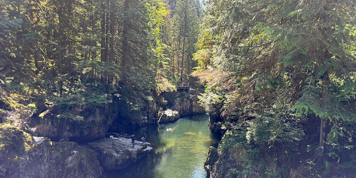
The Capilano River is a premier destination for outdoor enthusiasts looking to experience the coastal rainforest. The most famous attraction is the Capilano Suspension Bridge, a privately owned park that offers a bird’s-eye view of the canyon. For those seeking a more rugged experience, the Capilano Canyon Regional Park offers extensive hiking trails that wind through towering Douglas firs and western hemlocks. The trails range from easy walks to challenging climbs that provide spectacular views of the river’s rushing water.
Fishing is another popular activity, particularly during the salmon migration season in the fall. Anglers often gather near the fish hatchery to catch coho and steelhead trout. If you are interested in wildlife or photography, the area offers excellent opportunities to spot eagles, bears, and other native fauna. To make the most of your excursion, follow these recommended steps:
- Start your morning at the Cleveland Dam to view the reservoir and the spillway.
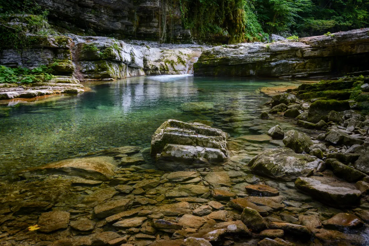
- Walk the lower canyon trails to observe the unique geological formations.
- Visit the Capilano Salmon Hatchery to learn about the life cycle of the local fish.
- Conclude your trip by crossing the various bridges that span the river for the best photo opportunities.
Common mistakes when visiting the Capilano River
A frequent mistake visitors make is underestimating the terrain’s difficulty. While the area is located near an urban center, the canyon trails are steep and can become incredibly slippery after rain. Many tourists arrive in inappropriate footwear, such as flip-flops, which leads to avoidable injuries on the uneven forest floor. Always prepare for changing weather conditions, as the North Shore mountains often experience higher rainfall than the city center.
Another common error is failing to respect the wildlife and the protected nature of the watershed. Visitors often leave food waste or trash on the trails, which attracts bears and other wildlife, creating dangerous interactions. Furthermore, many people ignore the signage regarding the dam’s water release cycles, putting themselves at risk of being trapped by rising water levels. By staying informed, following posted regulations, and practicing "Leave No Trace" principles, you ensure the river remains a healthy, safe environment for both the local ecosystem and future visitors to enjoy.
Key facts
- The Capilano River flows 17 kilometers (10.5 miles) from the Coast Mountains into the Burrard Inlet in West Vancouver.
- The river is a primary source of drinking water for the Greater Vancouver area, managed by the Cleveland Dam.
- Visitors can walk across the iconic Capilano Suspension Bridge, which hangs 70 meters (230 feet) above the river.
- The river supports significant runs of coho and chinook salmon, as well as steelhead trout, which are managed by the Capilano Salmon Hatchery.
- Swimming in the river is prohibited in many areas due to dangerous, unpredictable water releases from the dam.
- Hiking trails, such as the Capilano Canyon trail, offer accessible paths through old-growth forest along the riverbank.
The bottom line
The Capilano River is a vital natural resource serving as a primary water supply and a scenic recreational hub in West Vancouver. While its suspension bridge and salmon hatchery attract thousands of tourists, the river remains a powerful, regulated waterway. Visitors must respect safety warnings regarding dam releases and follow local regulations to protect the delicate ecosystem while enjoying the beauty of the canyon.
People also ask
Is it safe to swim in the Capilano River?
No, swimming is extremely dangerous due to the Cleveland Dam. The dam releases large volumes of water without warning, which can cause sudden, life-threatening surges in water levels and currents.
How do I visit the Capilano Salmon Hatchery?
The hatchery is located within Capilano River Regional Park and offers free public access. Visitors should follow the signs from the parking lot and check the seasonal schedule to see salmon migrating through the fish ladder.
Can I fish in the Capilano River?
Yes, fishing is permitted in specific zones, but it is strictly regulated by provincial and federal authorities. You must possess a valid freshwater fishing license and strictly adhere to catch-and-release policies for certain species.
What is the best time to see salmon in the river?
The best time to view salmon is typically between late summer and autumn, specifically from August through November. During these months, adult salmon return from the ocean to spawn in the river.
Are dogs allowed on the trails near the river?
Dogs are welcome in most parts of the Capilano River Regional Park, but they must be kept on a leash at all times. This rule protects local wildlife and ensures the safety of other hikers on narrow trails.
What should I do if I hear a siren near the river?
If you hear a siren, it is an emergency warning that the Cleveland Dam is releasing water. You must immediately move to higher ground and stay away from the river banks until the water levels stabilize.
This answer was created with the help of AI research tools and reference sources. Spotted an error? Let us know — we correct mistakes quickly. See our editorial policy.