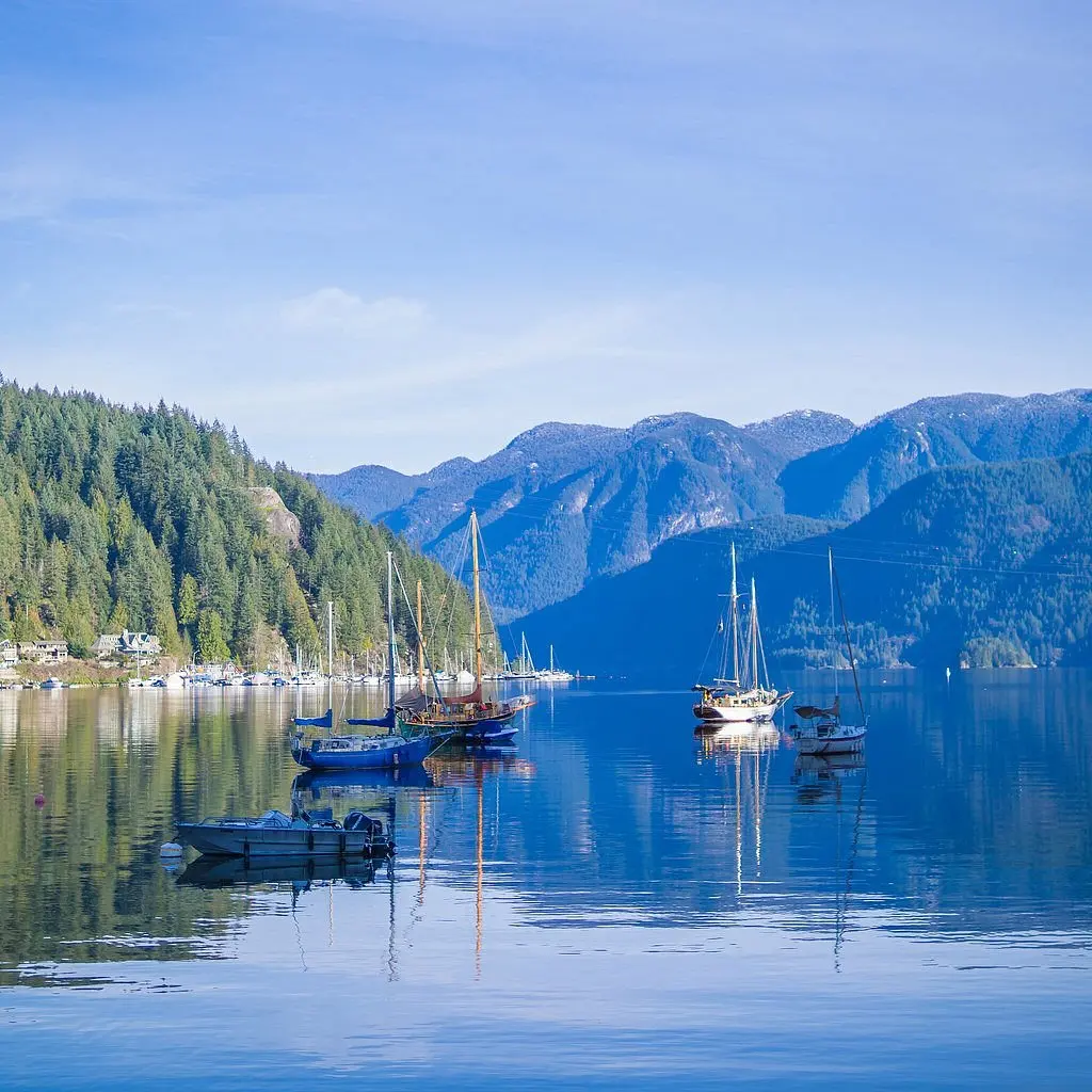
What is the Capilano Pacific Trail?
Short answer
The Capilano Pacific Trail is a scenic 7.5-kilometer hiking path located in West Vancouver, British Columbia. It follows the Capilano River, connecting the base of the Cleveland Dam to the Ambleside Park waterfront. The trail offers a lush, forested experience through rugged terrain, serving as a popular route for local hikers and joggers.
On this page
How long does it take to hike the Capilano Pacific Trail?
The full trek along the Capilano Pacific Trail typically requires between two and three hours for an average hiker. The trail spans approximately 7.5 kilometers one way, depending on the specific path taken near the riverbanks. Because the terrain features significant elevation changes, particularly near the northern end by the Cleveland Dam, your pace may fluctuate throughout the journey.
If you plan to hike the entire length, consider the following factors that influence your total time:
- Your physical fitness level and experience with uneven, forested terrain.
- Frequency of stops for photography or resting at the various viewpoints.
- Whether you intend to hike back to your starting point or arrange for a shuttle.
Most visitors find that a steady, moderate pace allows them to complete the route in about 2.5 hours. If you are traveling with children or prefer a leisurely pace, allocate closer to four hours to ensure you can enjoy the natural scenery without feeling rushed.
What is the trail like for beginners?
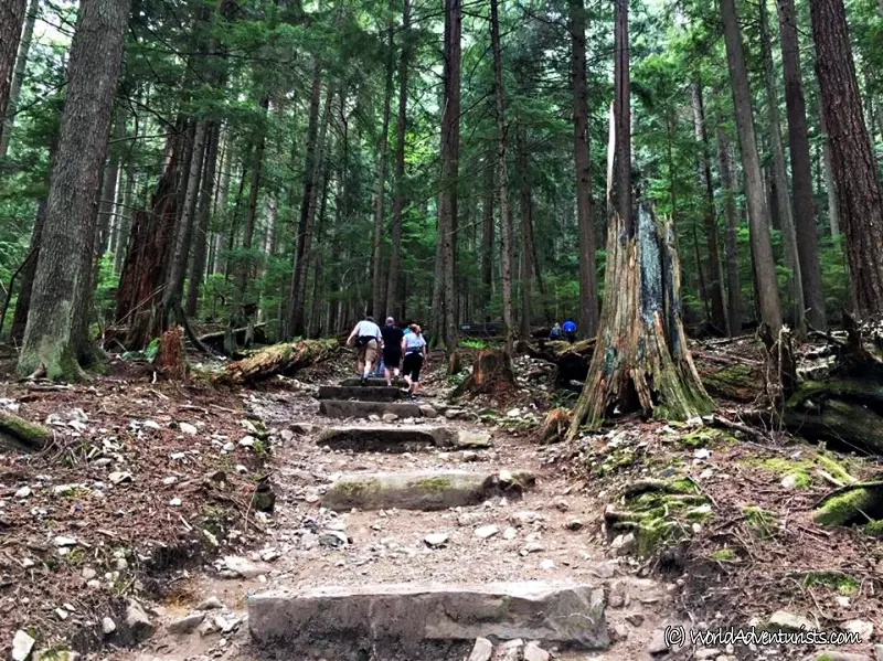
The Capilano Pacific Trail is generally accessible, but it is classified as a moderate hike rather than an easy stroll. While the path is well-maintained, it features natural elements such as exposed tree roots, loose gravel, and occasional muddy patches after rainfall. Beginners should be prepared for a workout, as the trail dips into the canyon and climbs back out at several points along the river.
If you are a beginner, follow these steps to ensure a safe experience:
- Wear sturdy, closed-toe hiking shoes or trail runners with good traction to navigate slippery sections.
- Check the weather forecast before departing, as the forest canopy can remain damp and cool even on sunny days.
- Carry a small daypack with water, a light snack, and a fully charged mobile phone for navigation.
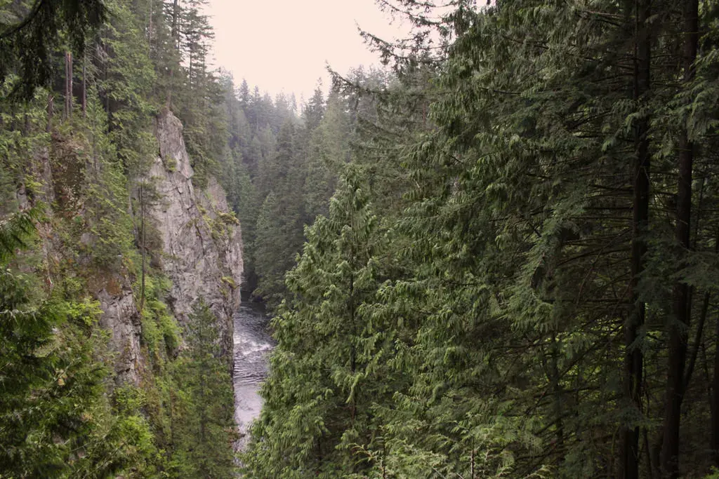
Avoid attempting this trail in heavy rain, as the steep sections near the river can become hazardous and prone to erosion. Sticking to the marked trail is essential, as the steep canyon walls can be unstable and dangerous if you wander off the path.
Where to start and finish the hike
The trail is linear, meaning you can start from either the north or the south end. The northern trailhead is located near the parking area for the Cleveland Dam in the Capilano River Regional Park. Starting here allows you to enjoy the impressive views of the dam and the spillway before descending into the lush canyon floor.
The southern terminus is located at Ambleside Park, near the mouth of the Capilano River in West Vancouver. This end of the trail is much flatter and offers a relaxing finish near the ocean. Many hikers prefer starting at the dam and walking downhill toward the beach, as this provides a more gradual descent. If you prefer a more challenging workout, starting at Ambleside and walking north toward the dam will provide a consistent uphill climb for the latter half of your journey.
Best times to visit the trail
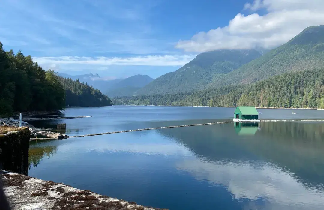
The Capilano Pacific Trail is open year-round, but the experience changes significantly with the seasons. Spring is often considered the best time to visit, as the melting snow from the mountains feeds the river, creating a powerful and dramatic flow. The forest is vibrant and green during this time, though the trail may be wetter than in mid-summer.
Summer offers the most reliable weather, with the dense tree canopy providing excellent shade during hot afternoons. However, this is also when the trail is most crowded, so visiting on a weekday morning is recommended to avoid heavy foot traffic. Autumn brings beautiful foliage, though the fallen leaves can hide roots and rocks on the path, requiring extra caution. Winter hiking is possible, but you must be prepared for shorter daylight hours and potential ice on the wooden bridges. Always prioritize safety by finishing your hike before dusk, as the canyon loses light much faster than open areas.
Common mistakes when hiking the Capilano Pacific Trail
One of the most frequent errors hikers make is underestimating the elevation gain throughout the canyon. While the total distance is manageable, the constant undulation of the trail can be tiring for those who are not prepared for sustained walking. Another common mistake is failing to bring adequate water, as there are no public water stations or shops located along the middle sections of the trail.
To avoid common pitfalls, keep these tips in mind:
- Do not rely solely on your phone for navigation; while the trail is well-marked, it is helpful to have a physical map or a downloaded offline GPS track.
- Avoid wearing casual footwear like flip-flops or flat-soled sneakers, which offer no support on the uneven canyon floor.
- Do not attempt to swim in the Capilano River, as the currents are extremely dangerous and unpredictable due to the dam's water release schedules.
By respecting the natural environment and preparing for the physical demands of the terrain, you can ensure a successful and enjoyable excursion through this unique West Vancouver landmark.
Key facts
- The Capilano Pacific Trail is a 7.5-kilometer (4.7-mile) recreational hiking path located in West Vancouver, British Columbia.
- It connects the base of the Capilano River Regional Park to the Ambleside Park waterfront near the Lions Gate Bridge.
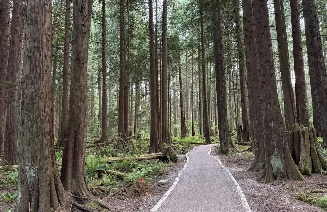
- The terrain is generally rated as easy to moderate, featuring a mix of gravel paths, forest trails, and paved sections.
- Hikers typically require 2 to 3 hours to complete the full one-way journey depending on their pace and stops.
- The route passes through diverse landscapes, including old-growth forest, residential neighborhoods, and urban parkland.
- A common mistake is failing to arrange transportation at the end point, as the trail is linear rather than a loop.
The bottom line
The Capilano Pacific Trail serves as a vital green corridor linking the rugged wilderness of the Capilano River to the coastal beauty of West Vancouver. By offering a blend of forest tranquility and urban convenience, it provides an ideal outing for casual hikers. Whether you seek a morning workout or a scenic afternoon stroll, this well-maintained path remains a quintessential experience for local outdoor enthusiasts.
People also ask
Is the Capilano Pacific Trail suitable for children?
Yes, the trail is family-friendly and relatively flat, making it accessible for most children. However, parents should remain cautious near the riverbanks and busy road crossings.
Are dogs allowed on the trail?
Dogs are permitted on the trail, but they must be kept on a leash at all times. Owners are expected to clean up after their pets and carry waste bags.
What is the best time of year to hike the trail?
The trail is accessible year-round, but spring and summer offer the most pleasant weather and foliage. Autumn provides beautiful scenery, though sections can become muddy after heavy rainfall.
Does the trail offer views of the Lions Gate Bridge?
Yes, the southern end of the trail near Ambleside Park provides excellent vantage points of the iconic bridge. It is a popular spot for photographers and sightseers.
Are there washroom facilities available along the route?
Public washrooms are available at the start in Capilano River Regional Park and at the finish in Ambleside Park. There are no facilities in the middle residential stretches.
Is the trail paved for cyclists?
Much of the trail is gravel or dirt, which is better suited for hiking than road cycling. Mountain bikers may find certain segments manageable, but pedestrians always have the right of way.
This answer was created with the help of AI research tools and reference sources. Spotted an error? Let us know — we correct mistakes quickly. See our editorial policy.