How do you draw a fantasy map?
Short answer
Drawing a fantasy map begins with sketching a rough coastline, followed by placing major geographical features like mountains and rivers. By layering in forests, cities, and political borders, you create a believable world. Focus on logical terrain placement and scale to ensure your map feels functional, immersive, and visually compelling for readers.
On this page
How to start a fantasy map for beginners
Begin by sketching a rough, irregular shape for your landmass on a piece of paper. Avoid perfectly straight lines or simple geometric shapes, as natural coastlines are jagged and complex. Once the outline is set, identify the primary climate zones to determine where different biomes will exist. This foundational step prevents the map from looking cluttered later on.
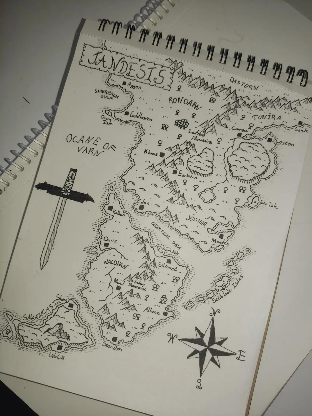
Focus on the "top-down" approach by placing major mountain ranges first. Mountains dictate weather patterns and water flow, which are essential for realistic geography. Use simple triangles or inverted "V" shapes to represent peaks, grouping them into long, curving chains rather than isolated clusters. This creates a logical structure that informs the placement of everything else on your map.
- Draw a light pencil outline of the continent.
- Sketch mountain ranges along tectonic lines or central landmasses.
- Identify high-altitude areas that will naturally collect snow and rain.
- Use light shading to indicate elevation changes across the terrain.
How to draw realistic rivers and lakes
Rivers are the lifeblood of any fantasy world and follow specific physical laws. They always flow from high elevation, such as mountains, toward the lowest point, usually the ocean. A common rule is that rivers merge as they move downstream; they rarely split into multiple branches unless they are forming a delta at the coast.
Lakes act as catchments for these rivers and are essential for supporting civilization. When drawing your river network, start at the mountain bases and draw thin, winding lines that snake toward the sea. If a river reaches a basin, it creates a lake, which then overflows into a single outlet river. Keeping these paths logical makes your world feel grounded and navigable for the inhabitants.
- Rivers should never split into two paths unless at a delta.
- Multiple small streams should converge into one larger river.
- Lakes usually have one main outlet river flowing out.
- Rivers often carve valleys, making them natural boundaries for kingdoms.
Best tools for fantasy map drawing
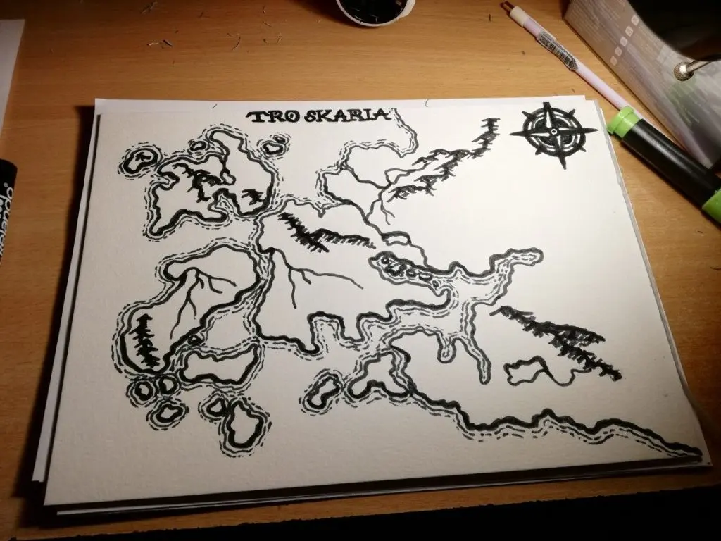
The choice of tools depends on whether you prefer traditional media or digital software. For traditional artists, a set of fine-liner pens with varying tip sizes is essential for creating depth. Use thicker pens for coastlines and major borders, while thinner pens work best for internal details like forest textures or individual houses. High-quality, heavy-weight paper prevents ink bleeding and allows for erasing.
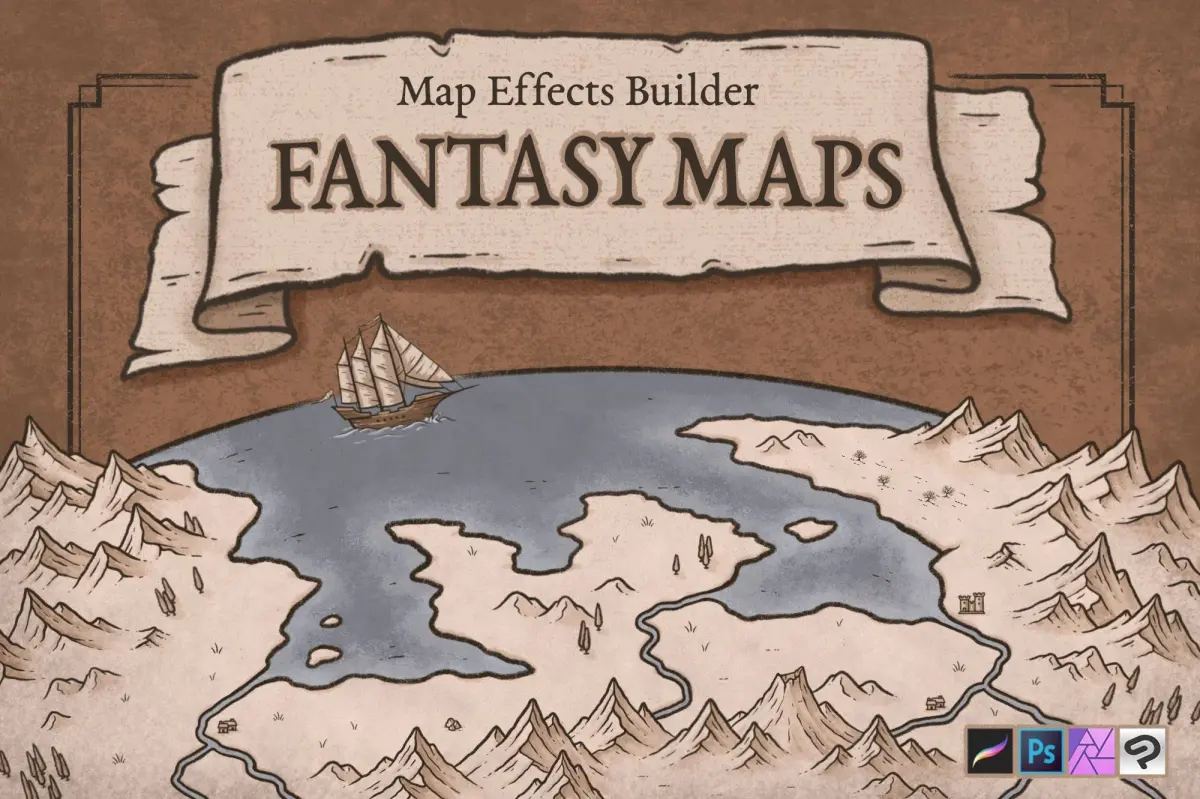
Digital artists often utilize tablets and specialized illustration software to manage layers. Layers allow you to separate elements, such as mountains, forests, and labels, making it easy to edit specific parts without ruining the entire project. Whether using ink or pixels, the goal is to maintain a consistent style across all elements. Consistency in line weight and icon size ensures the map remains legible and professional.
- Use 0.05mm pens for fine details like trees and roads.
- Use 0.5mm or thicker pens for coastlines and mountain outlines.
- Keep a clean eraser to remove construction lines after inking.
- Utilize layers in digital programs to organize terrain features.
Why fantasy maps need scale and labels
A map without a scale is merely an illustration, whereas a map with a scale becomes a functional tool for storytelling. Determine a standard unit of measurement, such as "one inch equals 100 miles," and place a simple bar scale in a corner. This helps readers understand the vastness of the world and the time required for characters to travel between locations.
Labels should be clear, legible, and placed strategically to avoid obscuring terrain. Use different font styles or sizes to distinguish between major regions, cities, and natural landmarks like mountain ranges. Grouping labels logically helps the eye navigate the map without confusion. Avoid placing text over dense areas like forests or complex mountain ranges, as this reduces readability and makes the map feel chaotic.
- Place the scale bar in an empty corner of the map.
- Use a consistent font style for all city names.
- Use larger, bolder fonts for countries or kingdoms.
- Ensure labels are oriented horizontally for easy reading.
Common mistakes when drawing fantasy maps
One of the most frequent errors is overcrowding the map with too much detail. Beginners often fill every empty space with icons, which makes the map difficult to interpret. Remember that negative space—empty plains, deserts, or open water—is essential for visual balance. It allows the reader's eye to rest and highlights the most important locations.
Another mistake is ignoring the relationship between geography and society. Cities are rarely placed randomly; they almost always emerge near water sources, fertile river valleys, or natural defensive positions like mountain passes. If you place a city in the middle of a barren desert without an explanation, it breaks the reader's immersion. Always consider why a civilization would choose to settle in a specific location, as this adds depth and history to your fantasy world.
Key facts
- Start by drawing your coastline first, as it defines the boundaries and scale of your entire fantasy world.
- Place mountain ranges in long, linear chains rather than random clusters to reflect tectonic plate movement.
- Rivers always flow from high elevations toward the sea and never split apart as they move downstream.
- Use a consistent scale bar to ensure travel distances between locations remain logical for your narrative.
- Add forests, deserts, and swamps based on your world's latitude to maintain realistic climate zones.
- Keep your map uncluttered by using clear, legible fonts and limiting the number of labeled landmarks.
The bottom line
Creating a compelling fantasy map requires balancing creative freedom with basic geographical logic. By focusing on realistic river flow, tectonic mountain placement, and clear, purposeful labeling, you provide a stable foundation for your world-building. Remember that a map is a tool for storytelling; it should prioritize readability and consistency over artistic complexity, ensuring your readers or players can easily navigate the world you have brought to life.
People also ask
How do I decide where to place cities?
Cities historically develop near reliable water sources like rivers, lakes, or protected harbors. Placing settlements at crossroads or mountain passes also provides logical economic reasons for their growth.
Should I use a grid system on my map?
A grid is essential if you plan to track movement for tabletop gaming or military campaigns. It helps maintain a sense of distance and makes calculating travel time much easier.
How do I make my map look aged or historical?
You can stain paper with tea or coffee and burn the edges to create a parchment effect. Using sepia tones and hand-drawn compass roses adds a classic, cartographic aesthetic.
What is the biggest mistake beginners make?
The most common error is drawing rivers that flow from one ocean to another or split into multiple paths. Rivers should almost always merge into larger bodies of water as they descend.
Do I need to be a skilled artist to draw a map?
You do not need professional drawing skills to create a functional map. Simple icons, such as triangles for mountains and squiggly lines for forests, are often more readable than complex illustrations.
How do I determine the climate of my map?
Map your world's equator and poles to establish temperature gradients. Generally, deserts occur around 30 degrees latitude, while lush vegetation is more common near the equator and temperate zones.
This answer was created with the help of AI research tools and reference sources. Spotted an error? Let us know — we correct mistakes quickly. See our editorial policy.