How do you get around Vancouver?
Short answer
Vancouver offers a highly integrated public transit network managed by TransLink, consisting of the SkyTrain, buses, and the SeaBus ferry. Walking and cycling are excellent for downtown exploration, while ride-sharing services and car-sharing programs provide flexible alternatives. Most visitors find that a Compass Card is the most efficient way to navigate the city.

On this page
How to use the SkyTrain and public transit
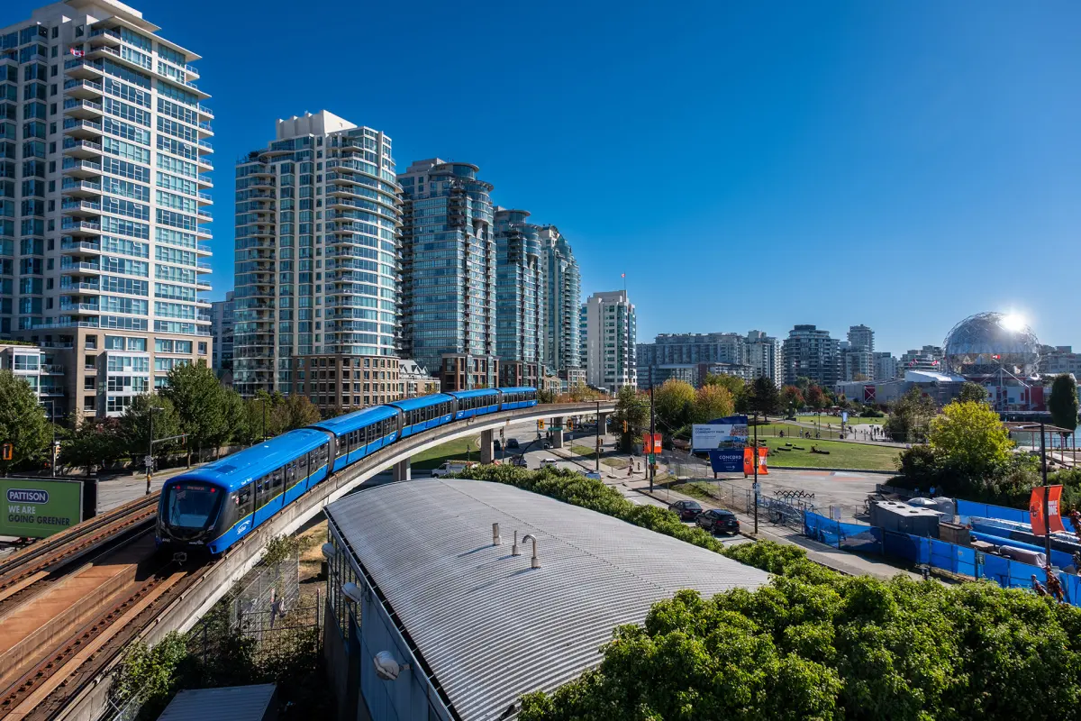
The SkyTrain is Vancouver’s automated rapid transit system, serving as the backbone of the city's public transportation. It consists of three lines: the Expo, Millennium, and Canada lines. The Canada Line is particularly useful for travelers, as it connects Vancouver International Airport (YVR) directly to the downtown waterfront in approximately 25 minutes. Trains run frequently, usually every two to five minutes during peak hours, making it an incredibly reliable way to bypass surface traffic.
To ride the system, you must use a Compass Card or a contactless payment method. You can purchase a reloadable Compass Card at vending machines located at all stations or simply tap your credit card or mobile wallet at the fare gates. Remember to tap in at the start of your journey and tap out when exiting to ensure you are charged the correct fare based on the zones you traveled through.
- Purchase a Compass Card or use a contactless credit card.
- Locate your platform and check the destination on the digital signage.
- Tap your card on the circular reader at the station gate.
- Board the train and find a seat or standing area.
- Tap your card again on the reader when exiting the station.
Best ways to explore by bike or walking
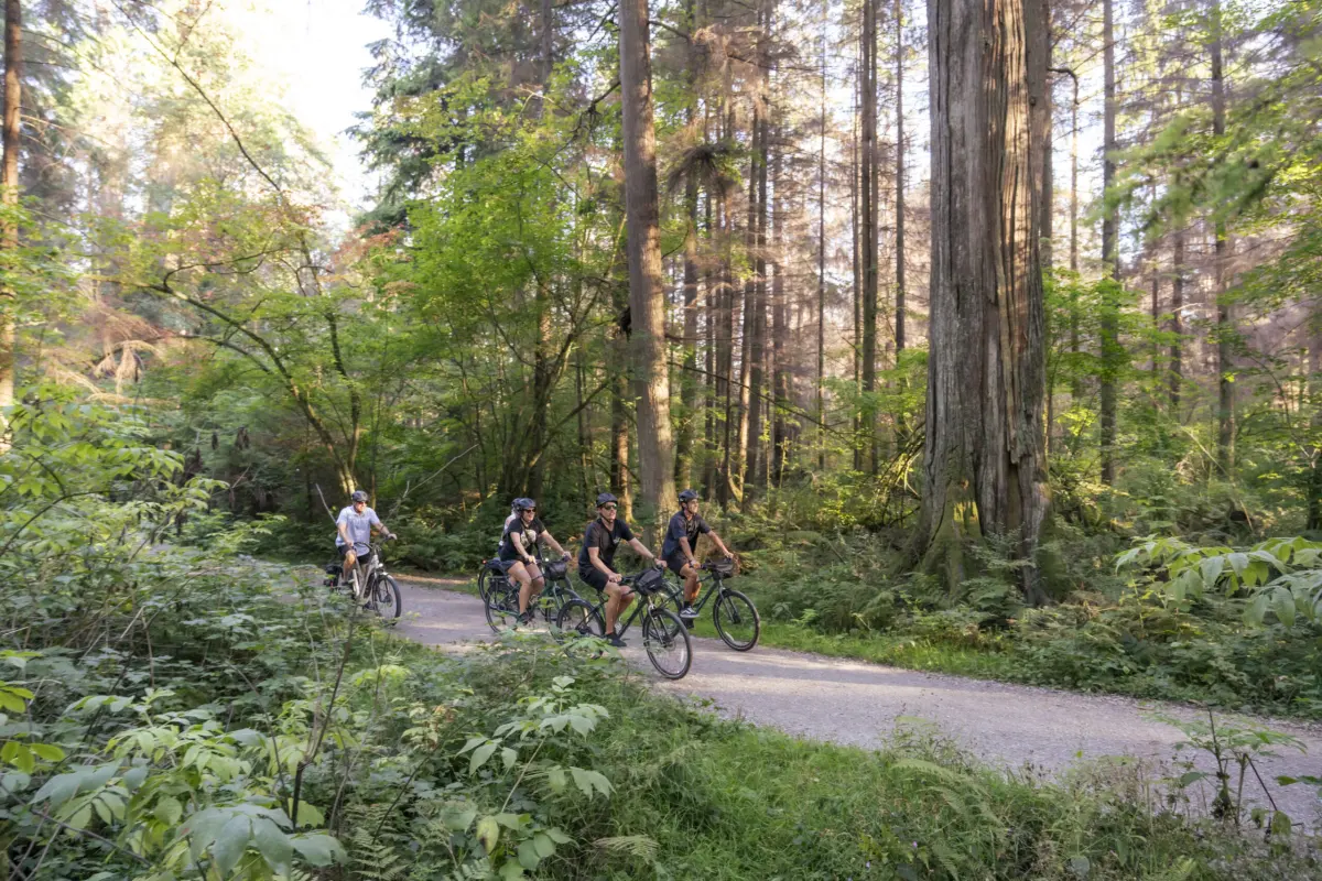
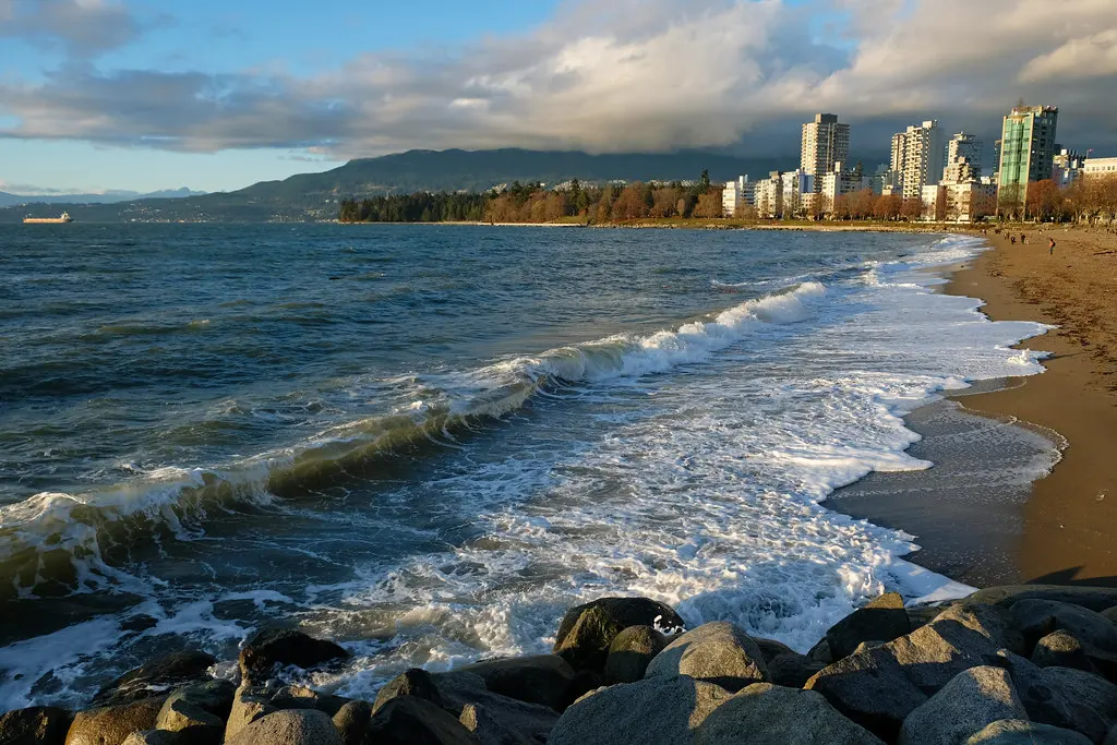
Vancouver is widely considered one of North America’s most walkable and bike-friendly cities. The downtown core is compact, and the famous Seawall—a 28-kilometer path circling Stanley Park and the False Creek shoreline—is the premier route for pedestrians and cyclists. Most major streets feature dedicated bike lanes, often separated from vehicle traffic by concrete barriers or parked cars, which significantly increases safety for casual riders.
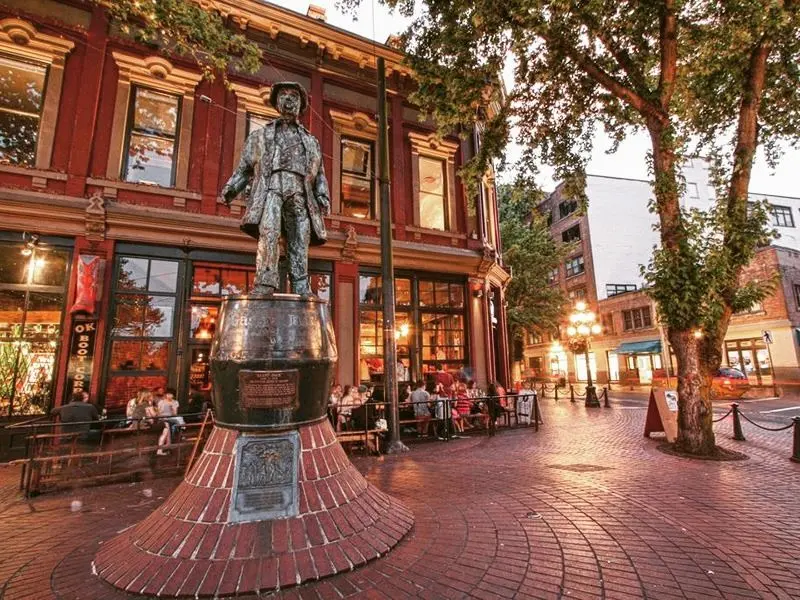
If you do not have your own equipment, the Mobi by Shaw Go bike-share program is the most convenient option. You can find docking stations throughout the downtown peninsula and nearby neighborhoods. Simply download the app, select a pass, and unlock a bike. When you are finished, return the bike to any available dock. Walking remains the best way to experience the unique character of neighborhoods like Gastown, Yaletown, and the West End, where street-level shops and cafes are densely packed.
- Wear a helmet, as it is legally required for all cyclists in British Columbia.
- Stick to the right side of the path on the Seawall to allow faster traffic to pass.
- Use the Mobi app to check for real-time bike availability before walking to a station.
- Avoid riding on sidewalks, as this is prohibited in most areas of the city.
How long does it take to get around
Travel times in Vancouver vary significantly depending on your mode of transport and the time of day. During the morning and afternoon rush hours, vehicle traffic can be heavy, particularly on the bridges connecting the North Shore to the downtown core. The SkyTrain remains unaffected by road congestion, making it the fastest option for cross-town travel. For instance, traveling from Waterfront Station to Metrotown in Burnaby takes roughly 20 minutes by train, whereas the same trip by car could take 45 minutes or more during peak periods.
If you are traveling within the downtown peninsula, walking is often faster than waiting for a bus or finding parking. Most major downtown destinations are within a 20-minute walk of one another. If you need to cross the harbor, the SeaBus ferry provides a scenic and efficient connection between Waterfront Station and Lonsdale Quay in North Vancouver. The crossing takes exactly 12 minutes and runs every 15 minutes during most of the day, offering a seamless transition between the city center and the mountains.

Common mistakes when using transit
A frequent error for visitors is failing to understand the TransLink zone system. Fares are calculated based on the number of zones you cross, and while the system is simple, neglecting to tap out at your destination can result in being charged the maximum possible fare for your trip. Another common mistake is assuming that all buses accept cash. While buses do accept cash, they do not provide change, so you must have the exact fare amount ready in coins.
Additionally, many tourists underestimate the distance between major attractions. While Vancouver looks small on a map, walking from Stanley Park to Science World takes over an hour at a brisk pace. Relying solely on walking can lead to fatigue and wasted time. It is better to use the SkyTrain for longer distances and save your energy for exploring specific neighborhoods on foot. Always check the TransLink app for service alerts, as occasional maintenance or unexpected delays can impact travel times on weekends or late at night.
Why ride-sharing and car-sharing are popular
While public transit is excellent, ride-sharing services like Uber and Lyft are widely available and provide a convenient alternative for late-night travel or trips to areas not well-served by the train. These services are particularly useful if you are traveling with heavy luggage or a group of four people, as the cost can be comparable to multiple transit fares. You can request a ride through the respective apps, which provide upfront pricing and driver tracking.
For those who prefer driving themselves, car-sharing programs like Evo are extremely popular. These services allow you to rent a vehicle by the minute, hour, or day. Unlike traditional car rentals, you can pick up these cars from designated street spots and drop them off in various zones throughout the city. This is an ideal solution for a quick trip to a grocery store or a short excursion to a park. Remember that you must register for these services in advance, as approval of your driver’s license can take a few days.
Key facts
- TransLink operates the integrated network of SkyTrain, buses, and the SeaBus ferry.
- Compass Cards are reloadable smart cards used to pay fares across all public transit modes.
- The SkyTrain system consists of three driverless lines: Expo, Millennium, and Canada Line.
- Vancouver is highly bike-friendly, featuring an extensive network of separated lanes and greenways.
- Mobi is the city’s public bike-share program, offering thousands of bikes at stations throughout downtown.
- Ride-hailing services like Uber and Lyft operate throughout the region, supplementing traditional taxis.
The bottom line
Navigating Vancouver is remarkably efficient thanks to TransLink’s integrated public transit network. Whether you choose the rapid SkyTrain, the scenic SeaBus, or the city’s extensive cycling infrastructure, you can easily reach most destinations without a car. For the best experience, use a contactless payment method, avoid driving in the congested downtown core, and leverage the bike-share program to explore the city’s beautiful waterfront greenways.
People also ask
Do I need to buy a separate ticket for the bus and the SkyTrain?
No, the transit system is fully integrated. A single Compass Card or contactless payment allows you to transfer between buses, the SeaBus, and the SkyTrain within a 90-minute window.
How do I pay for transit if I do not have a Compass Card?
You can tap your contactless credit card, debit card, or mobile wallet directly on the card readers. This is often the most convenient method for visitors who do not want to purchase a physical card.
Is it easy to drive and park in downtown Vancouver?
Driving in the city core can be challenging due to heavy traffic, limited street parking, and high costs. Most residents and visitors prefer using public transit or cycling to avoid the stress of navigating downtown congestion.
What is the best way to get from Vancouver International Airport to the city center?
The Canada Line SkyTrain provides the fastest connection, taking approximately 25 minutes to reach Waterfront Station. It is significantly more cost-effective and reliable than taking a taxi or ride-share during peak hours.
Are there specific rules for bringing bicycles on public transit?
Bicycles are permitted on the SkyTrain and SeaBus, though restrictions apply during peak rush hours. Buses are equipped with front-mounted racks that can hold two bikes at any time.
How late does public transportation run in Vancouver?
Most SkyTrain lines operate until approximately 1:00 AM or 1:30 AM depending on the day of the week. NightBus routes provide essential service on major corridors throughout the early morning hours when trains are not running.
This answer was created with the help of AI research tools and reference sources. Spotted an error? Let us know — we correct mistakes quickly. See our editorial policy.