What is GPS?
Short answer
GPS, or the Global Positioning System, is a satellite-based navigation network that provides precise location and time information anywhere on Earth. Operated by the United States Space Force, it consists of at least 24 orbiting satellites. Receivers in smartphones, vehicles, and aircraft calculate positions by measuring the time signals take to arrive.
On this page
How does GPS work?
The Global Positioning System functions through a process called trilateration. Each satellite in the constellation continuously broadcasts radio signals containing its precise location and the exact time the signal was sent. A GPS receiver on the ground detects these signals from multiple satellites simultaneously, calculating the distance to each one based on the time delay.
By measuring the distance from at least four satellites, the receiver can determine its own latitude, longitude, and altitude. Because the speed of light is constant, the tiny difference in arrival times allows the device to pinpoint a location within a few meters. This system relies on highly accurate atomic clocks onboard the satellites to ensure that time-stamping remains precise to the nanosecond.
- The receiver identifies at least four satellites in the sky.
- It calculates the distance to each satellite by measuring signal travel time.
- It uses geometric intersection to find the exact point where these distances meet.
- The device displays the calculated coordinates on a map or interface.
Who owns and operates GPS?
The United States government developed GPS originally for military purposes during the Cold War. The Department of Defense launched the first satellite in 1978, and the system reached full operational capability by 1995. While it remains under the control of the U.S. Space Force, the government provides the service free of charge to civilian users worldwide for navigation, surveying, and telecommunications synchronization.
Though the U.S. system is the most well-known, it is technically one of several Global Navigation Satellite Systems (GNSS). Other nations have developed their own independent networks to ensure redundancy and regional accuracy. These systems are often interoperable, meaning modern smartphones can pull data from multiple constellations simultaneously to improve performance in dense urban environments or deep canyons where signals might otherwise be blocked.
- GPS (United States)
- GLONASS (Russia)
- Galileo (European Union)
- BeiDou (China)
How accurate is GPS technology?
Under optimal conditions, modern GPS receivers can determine a user's location with high precision. For most commercial smartphones, the accuracy is within 4.9 meters (16 feet) under open skies. However, accuracy can degrade significantly due to environmental factors, such as "urban canyons" created by tall buildings, dense tree cover, or heavy atmospheric interference that scatters the radio signals.
Engineers use various techniques to enhance this accuracy for specialized tasks like land surveying or autonomous vehicle navigation. Differential GPS (DGPS) uses fixed ground-based reference stations to calculate the error in satellite signals and transmit corrections to mobile receivers. This can improve accuracy to within a few centimeters. For everyday users, the accuracy provided by a standard phone is sufficient for turn-by-turn navigation, fitness tracking, and tagging photographs with location data.
- Signal blockage by mountains or buildings.
- Atmospheric delays in the ionosphere.
- Multi-path error, where signals bounce off reflective surfaces before reaching the receiver.
- Clock drift or hardware limitations in low-cost consumer devices.
Common mistakes when using GPS
One of the most frequent errors users make is relying solely on GPS for navigation in remote or wilderness areas without a backup. Digital maps may not reflect recent road closures, construction, or changing trail conditions. Furthermore, relying on a device that requires a battery can be dangerous if the user has no secondary way to orient themselves, such as a physical topographical map and a magnetic compass.
Another common mistake is failing to calibrate the compass on a mobile device. Most smartphones use a combination of GPS and an internal magnetometer to determine direction. If the compass is not calibrated, the map may show the user moving in the wrong direction or spinning in circles. Users should also avoid entering coordinates manually unless they are certain of the format, as mixing up decimal degrees with degrees, minutes, and seconds can lead to significant navigation errors.
- Always download offline maps before traveling to areas with poor cellular service.
- Keep your device's software updated to ensure the latest satellite almanac data.
- Verify your destination address against a secondary source if the route seems illogical.
- Carry a portable power bank to ensure the device remains operational throughout the journey.
Why does GPS affect timekeeping?
Beyond location, GPS is a critical component of the global infrastructure for time synchronization. Because the satellites carry atomic clocks, they provide an incredibly stable time reference that is used to synchronize power grids, financial markets, and cellular networks. Many high-frequency trading platforms and telecommunications base stations rely on the precise timing pulses from GPS to coordinate their operations across different time zones.
Without this synchronization, the internet and global banking systems would struggle to maintain the order of transactions or manage data traffic effectively. The system is so precise that it must account for the effects of Einstein’s theory of relativity. Because the satellites are moving at high speeds and are further from Earth’s gravity, their clocks tick at a slightly different rate than clocks on the ground. Engineers must program the satellites to compensate for these relativistic differences, ensuring that the time data remains perfectly aligned with Earth-based standards.
Key facts
- GPS stands for Global Positioning System, a satellite-based navigation network owned by the United States government.
- The system consists of at least 24 satellites orbiting Earth twice a day, transmitting precise signal data to receivers.
- Your device calculates its location by measuring the time it takes for signals from at least four satellites to reach it.
- GPS works in all weather conditions, anywhere on Earth, provided there is an unobstructed line of sight to the satellites.
- To improve accuracy, avoid using GPS devices deep inside buildings, tunnels, or dense urban canyons where signals can bounce off structures.
- Always calibrate your device's compass before starting a trip to ensure the directional data aligns correctly with your physical orientation.
The bottom line
The Global Positioning System is a vital utility that allows users to determine their precise location and time anywhere on the planet. By triangulating signals from a constellation of orbiting satellites, the system provides essential navigation for aviation, maritime, and personal travel. Understanding its reliance on clear satellite visibility helps users troubleshoot common accuracy issues, ensuring reliable performance for daily navigation tasks across the globe.
People also ask
Does GPS require an active cellular data connection to work?
No, GPS receivers work independently of cellular networks by listening for satellite signals. However, many smartphone apps use mobile data to download maps or provide real-time traffic updates.
Why does my GPS position sometimes jump around on the map?
This often happens due to multipath interference, where signals bounce off tall buildings or mountains before reaching your device. It can also occur when your device has a weak signal or is struggling to maintain a lock on enough satellites.
Is GPS free for everyone to use?
Yes, the U.S. government provides the GPS signal for free to anyone with a compatible receiver. You do not need a subscription or a service plan to access the basic positioning data.
How accurate is the average GPS receiver?
Under open-sky conditions, civilian GPS receivers are typically accurate within 16 feet (5 meters). Modern dual-frequency smartphones can often achieve even higher precision in ideal environments.
Will GPS drain my phone battery quickly?
Yes, GPS is a power-intensive process because the device must constantly communicate with satellites and process signals. Using GPS continuously for navigation will significantly reduce your battery life compared to standby mode.
Can GPS be used to track someone without their knowledge?
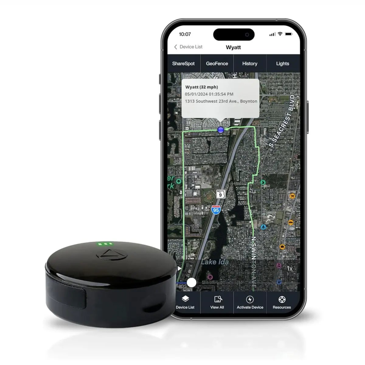
While GPS technology is used for fleet management and asset tracking, using it to track a person without consent is illegal in many jurisdictions. Privacy laws strictly regulate how location data can be collected and shared.
This answer was created with the help of AI research tools and reference sources. Spotted an error? Let us know — we correct mistakes quickly. See our editorial policy.