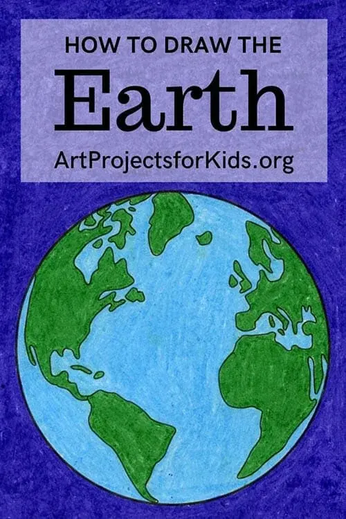
What is a globe?
Short answer
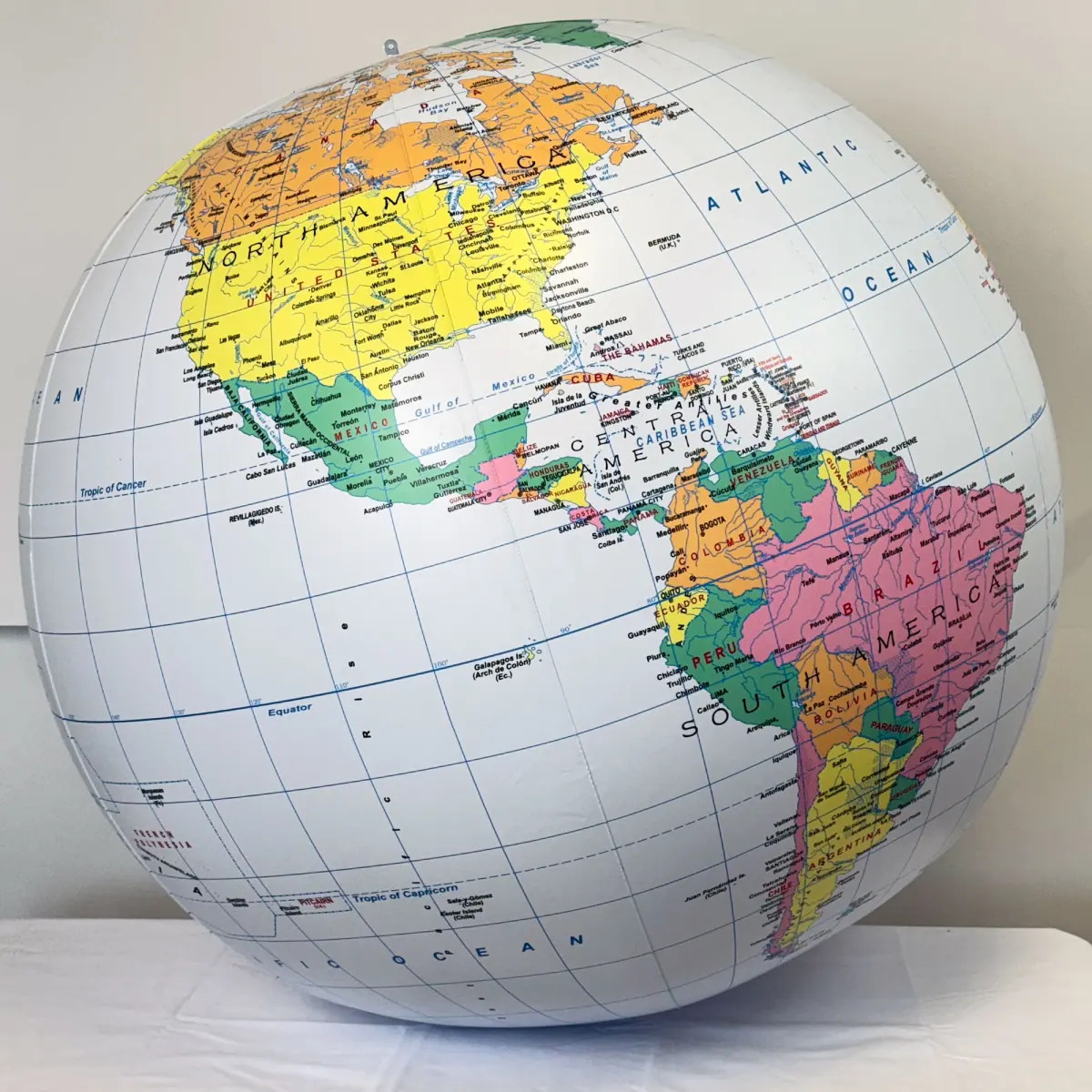
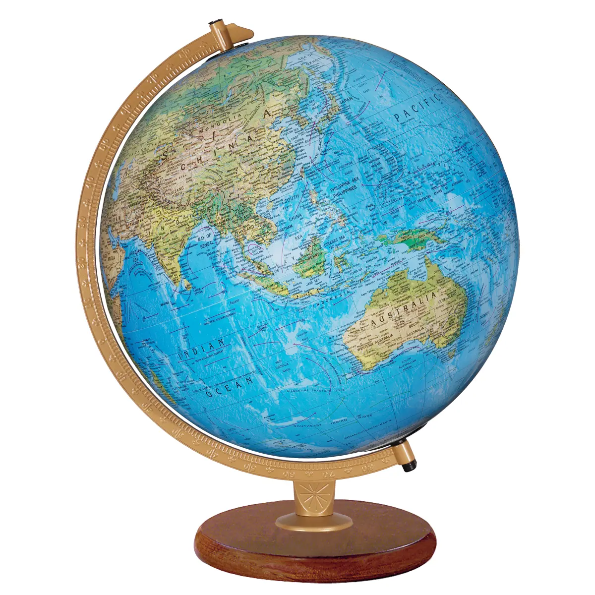
A globe is a spherical, three-dimensional scale model of the Earth or another celestial body. Unlike flat maps, globes preserve the true spatial relationships, distances, and areas of the planet’s surface without the distortion caused by projecting a sphere onto a two-dimensional plane. They serve as essential tools for understanding global geography.
On this page
Why do we use globes instead of maps?
The primary advantage of a globe is its geometric accuracy. Because the Earth is an oblate spheroid, any attempt to flatten its surface onto a map requires stretching or compressing landmasses. This process, known as map projection, inevitably distorts either the shape, size, distance, or direction of geographic features. A globe avoids these issues by maintaining the correct proportions of continents and oceans.
Globes are particularly effective for visualizing global flight paths and ocean currents. On a flat map, the shortest route between two distant points—known as a great circle route—often appears as a curved line, which can be counterintuitive. On a globe, this path is clearly visible as the straightest possible line across the surface. This makes globes indispensable for educational purposes, navigation planning, and gaining a realistic perspective of the planet's actual layout.
How are globes constructed?
Modern globe manufacturing combines historical craftsmanship with precision engineering. Most globes are created by applying printed paper segments, known as "gores," onto a sphere. Gores are long, thin, wedge-shaped strips that are carefully aligned to cover the surface of the globe without overlapping or leaving gaps. This technique ensures that the map data remains continuous and accurate across the entire model.
The materials used for globes have evolved significantly over time. While historical globes were often made of plaster or wood, contemporary models typically utilize high-impact plastics or lightweight cardboard. The process generally follows these steps:
- Mapping software translates spherical data into two-dimensional gore templates.
- The templates are printed onto specialized, flexible paper or vinyl.
- Technicians apply the gores to the spherical core using precise adhesive techniques.
- The globe is mounted onto a stand, often featuring a tilted axis to represent the Earth's 23.5-degree tilt.
What do the lines on a globe mean?
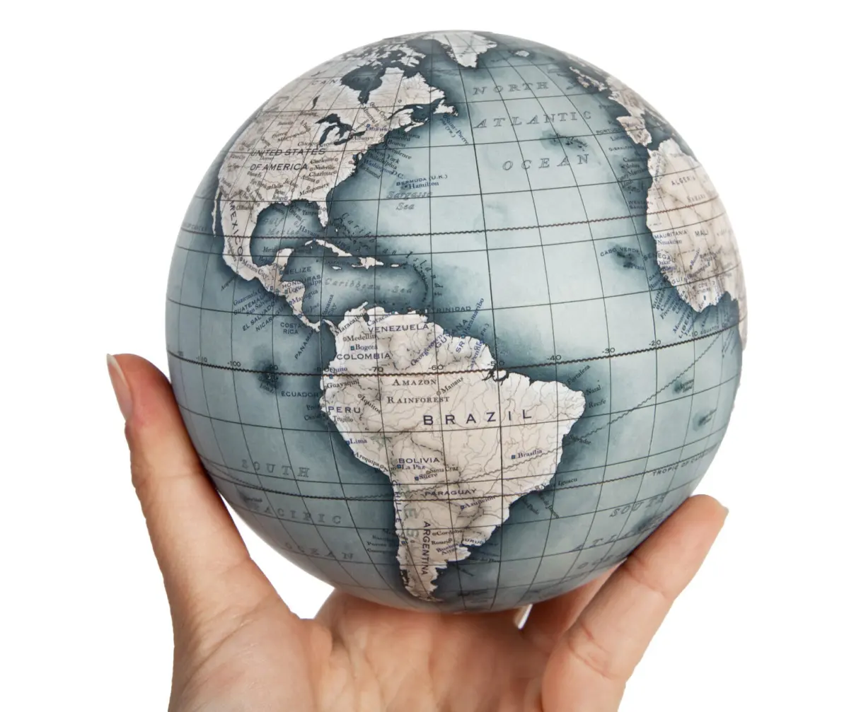
Globes are marked with a grid of imaginary lines that help users pinpoint exact locations. These lines are divided into two main categories: parallels and meridians. Parallels, or lines of latitude, run horizontally around the globe and measure distance north or south of the equator. Meridians, or lines of longitude, run vertically from the North Pole to the South Pole and measure distance east or west of the Prime Meridian in Greenwich, England.
Understanding these lines is essential for navigation and climate study. The intersection of a specific latitude and longitude provides a unique coordinate for any point on Earth. Key reference lines include:
- The Equator: The 0-degree latitude line that divides the Earth into the Northern and Southern Hemispheres.
- The Prime Meridian: The 0-degree longitude line that serves as the starting point for time zones.
- The Tropics of Cancer and Capricorn: Lines marking the northern and southern limits where the sun can be directly overhead.
Common mistakes when using a globe
One frequent error is failing to account for the globe's axial tilt. Many people assume the Earth stands perfectly upright, but the planet is actually tilted at an angle of approximately 23.5 degrees relative to its orbital plane. If you rotate a globe that is mounted on a tilted axis, you are simulating the Earth's rotation in space. Ignoring this tilt can lead to misunderstandings regarding how seasons occur or why the sun hits different parts of the world at varying angles throughout the year.
Another common mistake is treating a globe as a static object rather than a tool for exploration. Users often overlook the scale of the globe compared to the real world. While a globe is a perfect representation of shape, the scale is so significantly reduced that fine details like small towns or local roads are omitted. Always verify the scale printed on the base to understand the relationship between the model and the actual physical size of the Earth.
Best ways to care for a globe
To ensure your globe remains accurate and visually appealing, proper maintenance is required. Globes are sensitive to environmental conditions, particularly humidity and direct sunlight. Exposure to intense UV light can cause the colors of the map to fade, while excessive moisture can cause the paper gores to peel or the internal structure to warp. Keep your globe in a climate-controlled room away from windows or heating vents.
Cleaning should be done with extreme care to avoid damaging the surface. Follow these guidelines to maintain your model:
- Use a soft, dry microfiber cloth to gently dust the surface.
- Avoid using liquid cleaners or abrasive chemicals, as these can dissolve the adhesive or damage the printed ink.
- If the globe is mounted on a rotating base, occasionally check the screws or bearings to ensure smooth movement.
- If you notice a gore lifting, seek professional restoration rather than using standard household glue, which may be too acidic for the paper.
Key facts
- A globe is the only accurate representation of the Earth because it maintains the correct geometric relationship of landmasses without distortion.
- Most globes are mounted at a 23.5-degree angle to represent the Earth's axial tilt relative to its orbit around the sun.
- The first known terrestrial globe, the Erdapfel, was created by Martin Behaim in 1492, just before Columbus reached the Americas.
- Globes use a spherical coordinate system, employing latitude and longitude lines to pinpoint any location on the planet.
- When choosing a globe, ensure the map is current, as political boundaries and country names change frequently due to geopolitical shifts.
- Avoid placing a globe in direct sunlight, as UV rays can fade the ink and cause the material to warp or crack over time.
The bottom line
A globe serves as the most reliable model of our planet, offering a distortion-free view of geography that flat maps cannot replicate. By preserving the true spatial relationships between continents and oceans, it provides a vital educational tool for understanding global scale, axial tilt, and coordinate systems. Investing in a high-quality globe helps bridge the gap between abstract cartography and the physical reality of Earth.
People also ask
Why do maps look different from globes?
Maps are flat projections that must stretch or shrink areas to represent a curved surface on a 2D plane. This process, known as map projection, inevitably creates distortions in size, shape, or distance that globes do not have.
What is the difference between a political and a physical globe?
A political globe highlights human-made borders, countries, and major cities. A physical globe focuses on natural features like mountain ranges, deserts, and ocean depths, often using raised relief to show elevation.
How do I find a specific location on a globe?
Locate the coordinates for your destination, then follow the horizontal latitude lines to the correct north or south position. Next, follow the vertical longitude lines to the precise east or west meridian to find the intersection.
Are all globes perfectly round?
While most globes are spheres, the Earth is technically an oblate spheroid, meaning it bulges slightly at the equator. Most commercial globes are manufactured as perfect spheres for simplicity and structural stability.
Can I use a globe for navigation?
Globes are excellent for understanding global geography and flight paths, but they lack the detail required for local navigation. For travel, specialized maps or GPS systems are necessary to provide the granular detail needed for streets and landmarks.
How should I clean my globe?
Use a soft, dry microfiber cloth to gently dust the surface. Avoid using water or chemical cleaners, as these can damage the paper or plastic coating and cause the seams to peel.
This answer was created with the help of AI research tools and reference sources. Spotted an error? Let us know — we correct mistakes quickly. See our editorial policy.